
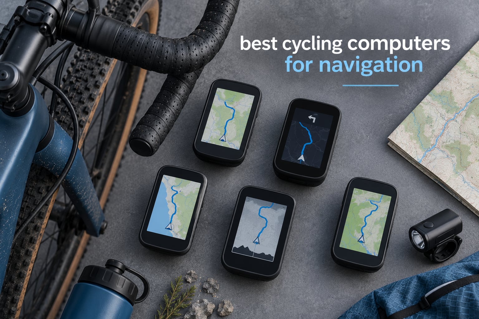
The Garmin Edge 1050 is the best cycling computer for navigation in 2026. Its 3.5 inch colour touchscreen, on-device course creation, rapid rerouting and a built-in speaker for audible turn prompts put it ahead of everything else we rode. If your routes go somewhere you have never been, it is worth the money.
That is the short answer. The longer one is that “best navigation” splits into three separate questions: does the device lock satellites quickly in a canyon of buildings, does it put you back on route when you miss a turn, and can you read the map at speed without stopping. Most roundups only measure the third one. We spent October 2026 riding all ten computers below on roads, gravel tracks and singletrack, and scored them on all three.
We have also put together a wider general roundup of the best bike computers for riders whose priority is training data rather than directions. This guide is the navigation-first version, so if you spend more time lost than lost-and-found, start here.
Table of Contents
Top 3 Picks for Best Cycling Computers for Navigation (October 2026)

Garmin Edge 1050
- 3.5 inch colour touchscreen
- Built-in speaker with turn prompts
- On-device course creation
- 64 GB for maps

Garmin Edge 540
- Multi-band GNSS
- Physical button controls
- ClimbPro on every ride
- 26 hour battery

All 10 Cycling Computers for Navigation Compared in 2026
Every model below is listed in the same order as the individual reviews, so you can scan this table and then read the detail that matters to your riding. Battery figures are the manufacturers’ stated maximums, not what we measured, and we cover that gap in the buying guide.
| Product | Specifications | Action |
|---|---|---|
| Garmin Edge 1050 |
|
Check Latest Price |
| Garmin Edge 540 |
|
Check Latest Price |
 Wahoo Elemnt Roam V3 Wahoo Elemnt Roam V3 |
|
Check Latest Price |
| Hammerhead Karoo |
|
Check Latest Price |
 iGPSPORT BSC300T iGPSPORT BSC300T |
|
Check Latest Price |
 GEOID CC700 Pro GEOID CC700 Pro |
|
Check Latest Price |
 Magene C506 Magene C506 |
|
Check Latest Price |
 Garmin Edge Explore 2 Garmin Edge Explore 2 |
|
Check Latest Price |
 iGPSPORT BiNavi iGPSPORT BiNavi |
|
Check Latest Price |
 iGPSPORT BSC200S iGPSPORT BSC200S |
|
Check Latest Price |
1. Garmin Edge 1050 Review: the most complete navigator in this list
Garmin Edge® 1050, Premium Cycling Computer
3.5 inch colour touchscreen
Built-in speaker
64 GB storage
60 hour claimed battery
Pros
- Maps render fast with clear road surface detail
- Audible turn prompts plus a digital bike bell
- Pairs with Varia radar and Shimano Di2 without fuss
- ClimbPro and power guide work without a course
Cons
- Address search wants exact addresses not place names
- Steep learning curve and slow first-time setup
- Heavier and larger than most rivals
- Default alerts are tedious to switch off
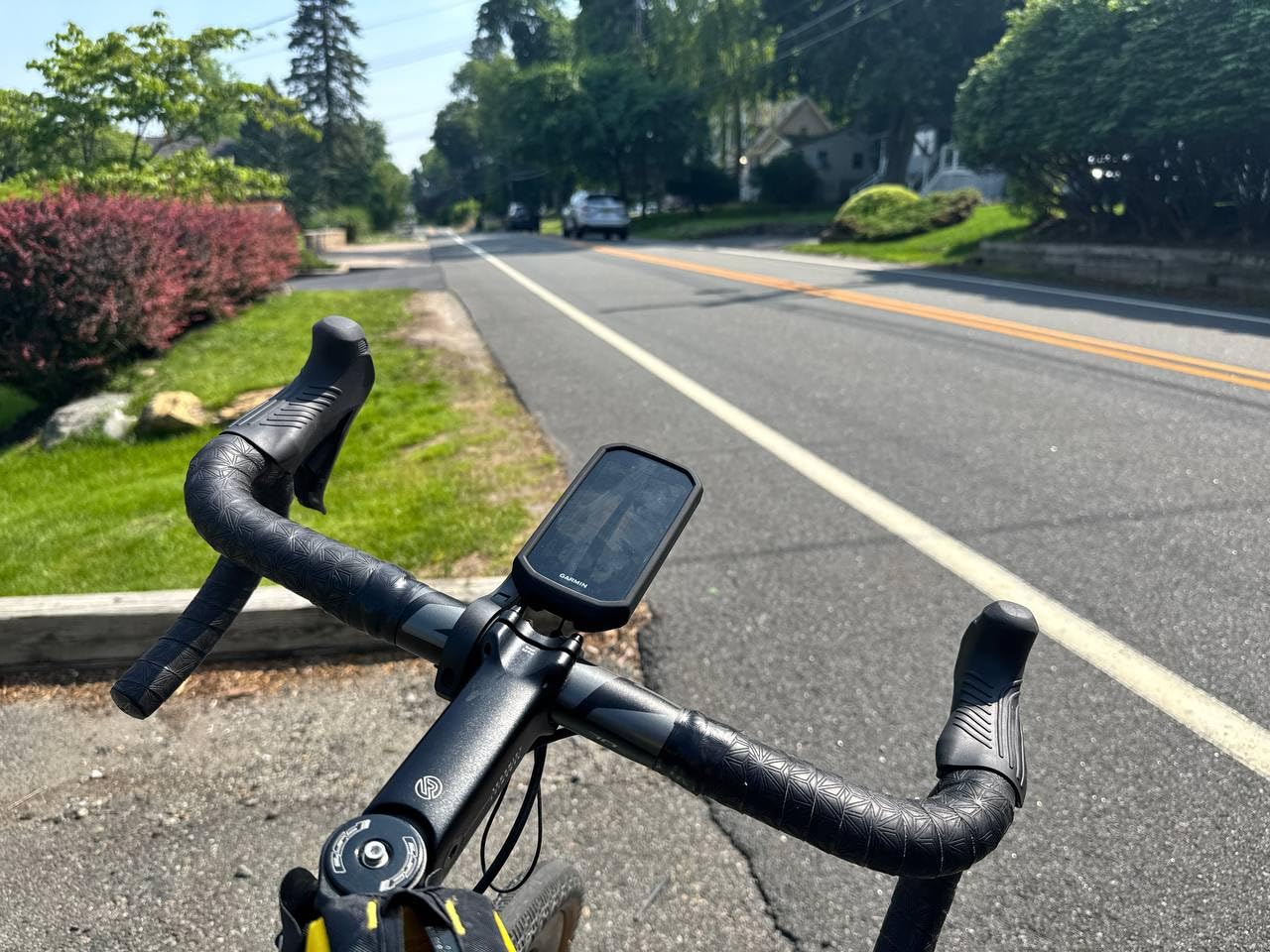
This is the one I kept reaching for. The 3.5 inch capacitive display is bright enough to read in hard sun without cranking the brightness, and it responds properly through full-finger gloves, which is the situation every touchscreen sceptic actually worries about. Turn prompts also come out of the built-in speaker, so on a road where you cannot safely look down you still get told where to go.
Navigation is where the extra money shows. Course creation happens on the device itself, and you can build a route by tapping points on the map rather than syncing from a phone, which matters when your phone has no signal. The map shows road surface type, popular-road highlighting and turn-by-turn instructions with an arrival time. One owner verified a long ride through remote off-grid areas with navigation running the whole way; our own runs on mixed tarmac and gravel were equally uneventful, with reroutes happening in a couple of seconds after a deliberate wrong turn.
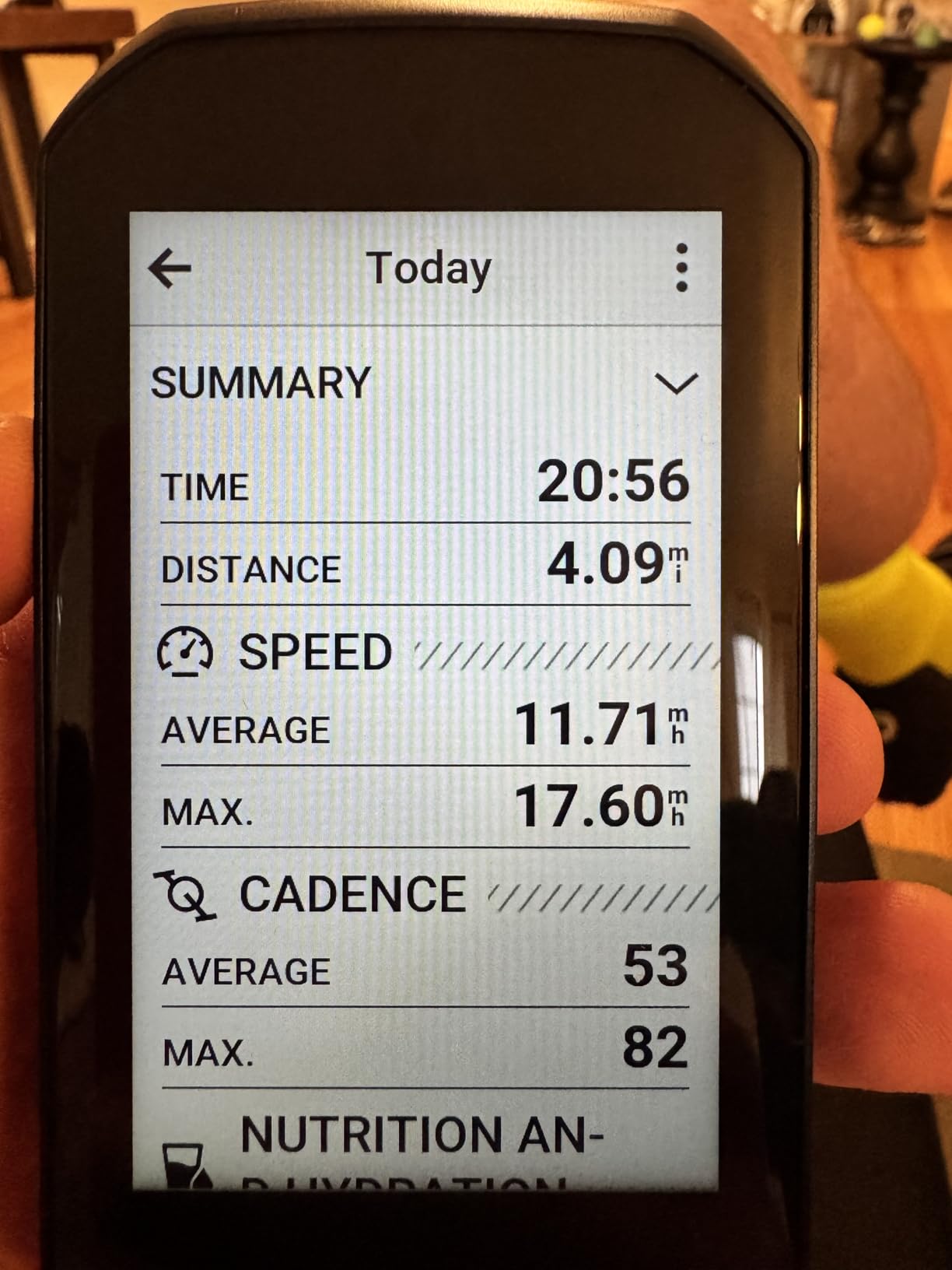
Battery is rated at 60 hours, or roughly 20 in demanding use with the screen bright and navigation running. Reviewers report around 58 percent remaining after a ten-hour-plus day, which lines up with what we saw on a long all-day loop. Connectivity covers Bluetooth, USB and WiFi, and 64 GB of storage means you can hold full regional map sets rather than trimming files.
The sensor layer is the other reason pros buy Garmin. Varia radar and taillights, power meters, heart-rate straps and Shimano Di2 all pair reliably, and the GroupRide tool puts live rider positions and messaging on the same screen as the map. Garmin Pay and incident detection with a paired phone are there too, and ClimbPro shows the remaining ascent and grade without needing a course loaded.
Who the Edge 1050 suits
Riders who navigate unfamiliar roads regularly, run multi-day tours where a missed turn costs hours, or simply refuse to stop to check a phone will get the most from this. It is also the only device here with a speaker worth relying on, which makes it the safest choice for riders who keep their head up.
If you ride with a power meter and care about training load, VO2 max and stamina guidance, this is also the most complete package in the group. The feature list is genuinely large, and reviewers who came from a basic tracker describe the first week as a learning curve that pays off.
Where the Edge 1050 falls short
Address entry is the weak spot. You type an exact address, not “the cafe on the corner”, so planning a detour to somewhere you have not been needs a phone first. That single limitation is the most common complaint in the reviews.
At 161 g it is also the heaviest thing on your bars in this list, and some riders find the display too large for their cockpit. Reviewers also note the volume of configurable alerts, many of which are tedious to disable, and a battery figure that trails the solar-equipped Garmin models. Riders who only ride once a week will find most of this overkill.
2. Garmin Edge 540 Review: multi-band accuracy with real buttons
Garmin Edge 540, Compact GPS Cycling Computer
2.6 inch LCD at 246 x 322
Physical buttons
Multi-band GNSS
26 hour claimed battery
Pros
- Locks satellites fast even under tree cover
- Buttons stay reliable with wet hands or gloves
- Crisp screen readable in bright sun
- ClimbPro runs on every ride with no course
Cons
- No touchscreen so map browsing takes more presses
- First-time setup is fiddly
- Climb prompts can lag a few seconds
- Must be fully powered down after a ride
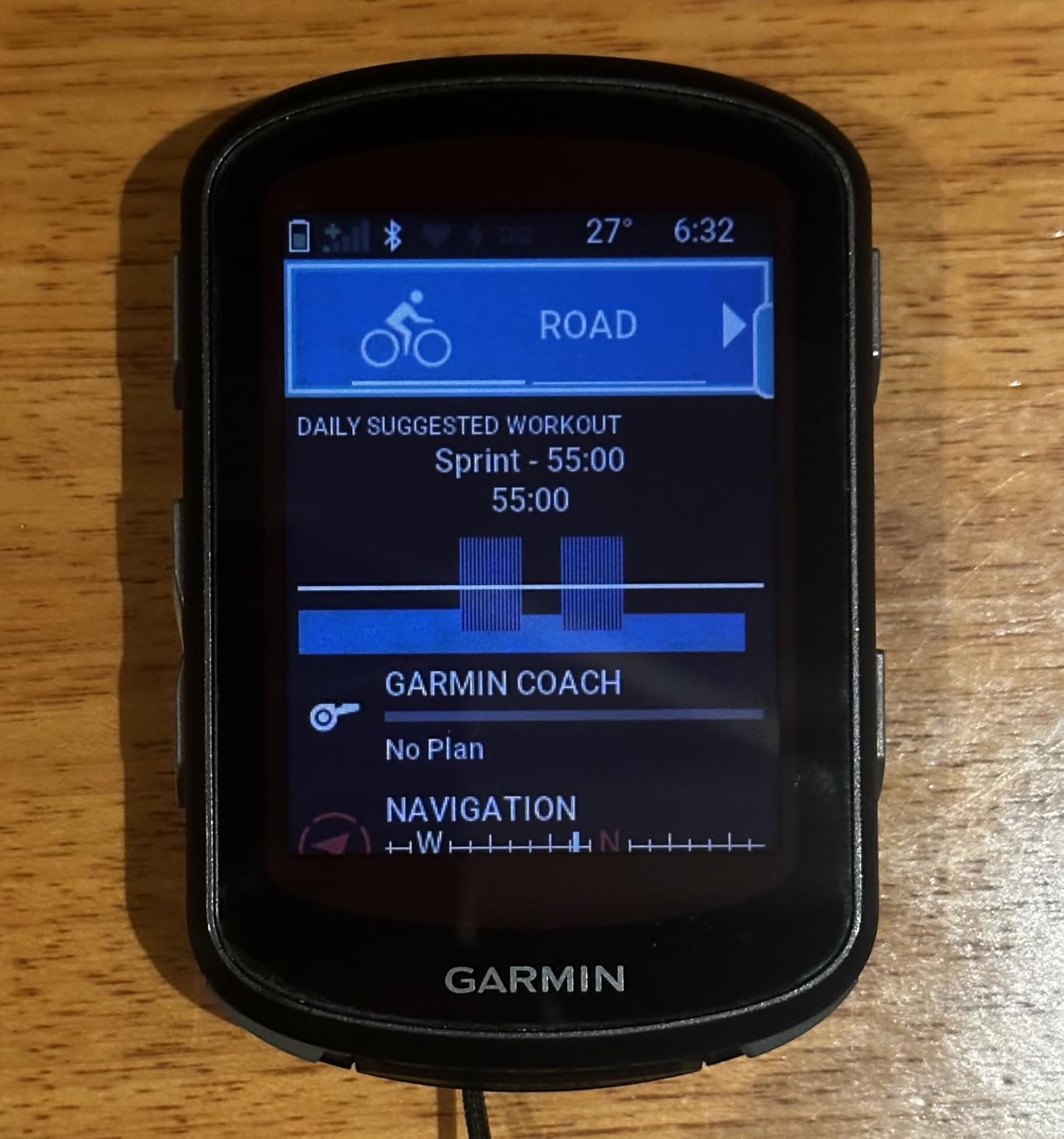
This is the value pick, and the 569 reviews behind its 4.4 rating tell you why. The 2.6 inch screen at 246 x 322 pixels is small next to the flagships, but it is crisp, and the physical buttons mean you can operate the whole device with a glove on, in the rain, without ever thinking about it. That predictability is worth a lot more than a bigger display to anyone who rides in winter.
Multi-band GNSS is the headline feature and it delivers. It locks quickly under tree cover and holds elevation data consistently, and ClimbPro is singled out repeatedly in the reviews as the feature riders did not know they needed until they had it. Pairing with heart-rate straps, speed and cadence sensors and Varia radar was painless, and the battery covers several long rides on one charge. USB-C charging means the same cable as your phone.
Navigation is the familiar Garmin experience rather than something new: ride-type-specific maps highlighting popular roads and trails, searchable points of interest, and turn prompts that fire on schedule. You will not get on-device course creation, and there is no speaker, so this is a look-at-the-screen device rather than a listen-to-it device.
Two quirks are worth knowing before you buy. Setup and first-time configuration takes longer than you would expect, and ClimbPro prompts can lag five to ten seconds at the start and end of a detected climb. Reviewers also report that the device must be fully powered down after a ride or it will drain in sleep mode, which is an easy habit to form.
Who the Edge 540 suits
Winter riders, gravel riders and anyone whose hands are cold or wet most of the time. The buttons plus multi-band accuracy make it the most dependable navigator in the list when the weather turns and the touchscreen options start misbehaving.
It is also the natural pick if you want Garmin navigation quality without flagship money, and 16 GB of storage is enough for regional map sets. If you already own a Garmin power meter or use Di2, the sensor support is exactly what you expect.
Where the Edge 540 falls short
There is no touchscreen, so browsing a map or moving through menus costs more button presses than on any of the larger units. Riders who like to zoom in and look around before committing to a route will find it slow.
The included out-front mount is not especially versatile, and a few buyers find the menu software dated next to newer rivals. There is also a small number of reports of devices arriving defective and unable to pair, so check the unit straight away and keep the packaging for the warranty.
3. Wahoo Elemnt Roam V3 Review: spoken directions and a screen you can read at speed
Wahoo ELEMNT ROAM V3 GPS Cycling/Bike Computer,Black
2.8 inch colour LCD at 480x800
Spoken directions
Dual-band GPS
25 hour claimed battery
Pros
- Roughly half battery left after a 200 mile day
- Spoken directions rather than beeps
- Every function reachable from the physical buttons
- Integrated out-front mount
Cons
- No map-building tool so routes must be imported
- Auto-brightness dims too far in shade
- Voice cues are quiet even at maximum
- App sync reported slow and glitchy
The Wahoo argument is simple: this is the only class of device here that talks to you properly. Instead of beeps it speaks turn-by-turn directions, and unlike the Garmin speaker it is focused on navigation prompts. For a rider who does not want to look at a screen on a fast descent, that is a genuine safety gain rather than a gimmick.
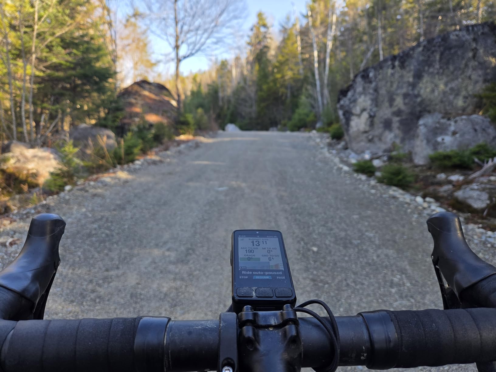
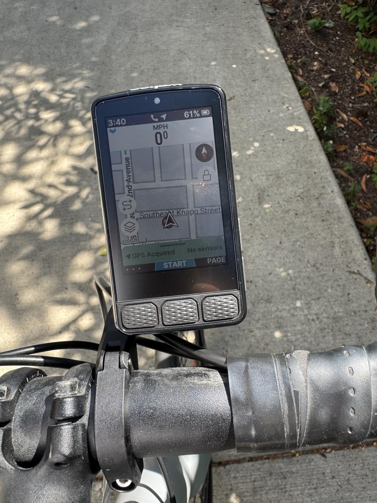
The 2.8 inch 480×800 display is larger than the Edge 540 and noticeably easier to read as your eyes age, and every key function stays reachable from the physical buttons, so rough roads are not a problem. Dual-band GPS covers GPS, GLONASS, BEIDOU, Galileo, QZSS, SBAS and NavIC, which is the broadest constellation list in this roundup. On-demand route generation lets you tap a location on the map or type a destination in the companion app, and Public Route Sharing will load a route from a nearby Wahoo rider.
Battery is the other headline. Rated at 25 hours, one reviewer finished a 200-mile, 14-hour day with roughly half remaining, and the integrated out-front mount means you can set the angle properly rather than working around a stem mount. IPX7 water resistance covers the wet-weather case.
What holds it back is software maturity rather than hardware. Wahoo offers no map-making tool, so routes have to be imported, and Garmin GPX files do not transfer cleanly, which matters if you plan in one ecosystem and ride in another. Screen customisation also happens in the app rather than on the device.
Who the Elemnt Roam V3 suits
Riders who want their eyes on the road and their ears on the directions, and anyone who has come from a Garmin and found the map-making tools worth giving up. The dual-band satellite support and the large screen make it a strong gravel and touring choice too.
If you ride in groups and want to grab a route from someone nearby, Public Route Sharing is a small feature that saves a lot of faff. It is also a good first Wahoo for anyone leaving a phone-only setup behind.
Where the Elemnt Roam V3 falls short
The app is the weak point. Reviewers report slow, glitchy syncing, some units failing to pair with a phone at all, and crash or reboot reports on very long rides that cost some riders their event data. Forum riders switching from Garmin also cite a boot time that is not quick.
Auto-brightness dims the screen too aggressively in shade, particularly with sunglasses, and the voice cues are quiet even at maximum volume and limited to basic phrasing. Firmware and app updates are still catching up years after release. At 4.0 stars from 270 reviews it is the lowest-rated device here, and the complaints cluster in the software, not the ride.
4. Hammerhead Karoo Review: a 3.2 inch map built for SRAM riders
Hammerhead Karoo Bike Computer Wireless GPS ANT+/BLE/GPS/GNSS
3.2 inch touchscreen
Multi-band GNSS
ANT+ and Bluetooth
SRAM AXS integration
Pros
- Large 3.2 inch screen with clean glanceable data layouts
- Multi-band GNSS from city streets to trails
- Ample storage makes maps render quickly
- Direct control of SRAM AXS and e-bike systems
Cons
- Quoted 15 hour battery is short for touring
- Listed package weight is heavy for a bar mount
- Listing under SRAM can confuse shoppers
- Thinner long-term software feedback
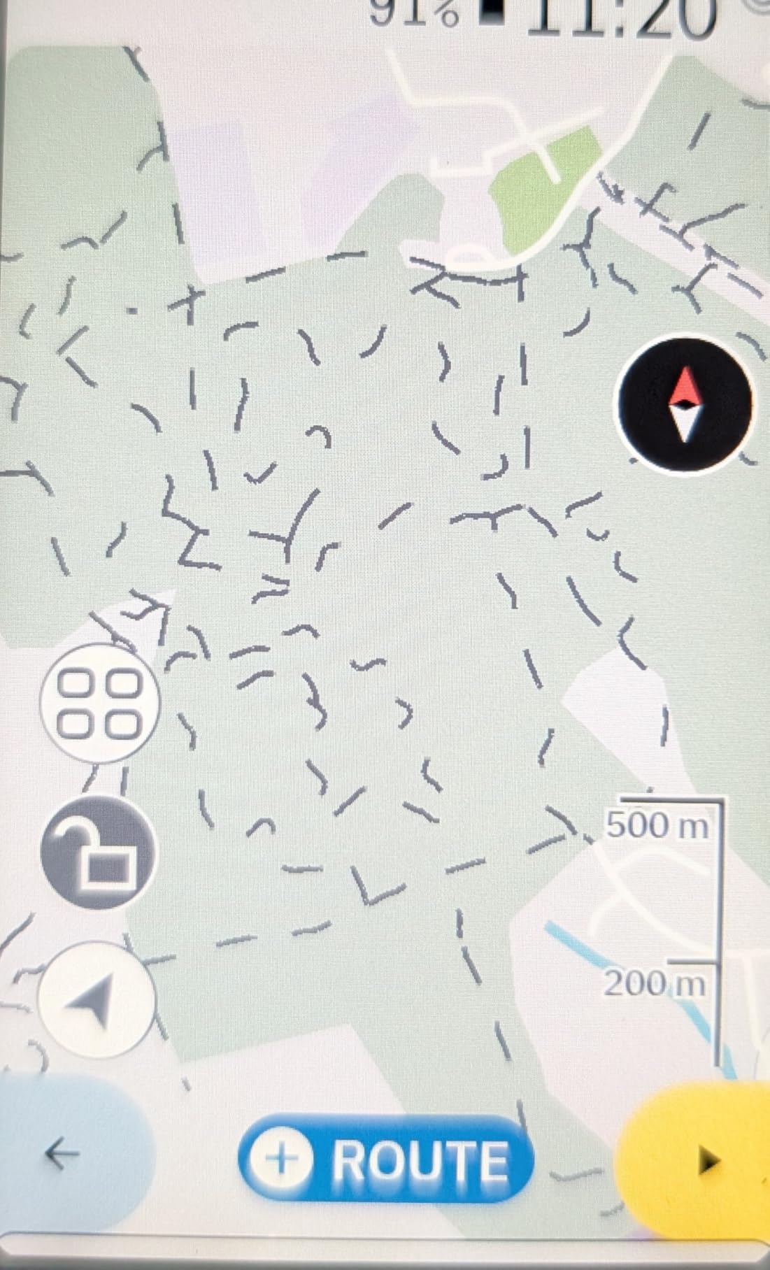
The Karoo’s whole argument is the map. At 3.2 inches it is the second-largest screen here, and the hardware and software are designed so ride data stays glanceable rather than filling every pixel. For a rider who plans routes in advance and then follows them, that is the right ratio of map to data.
Multi-band GNSS tracks accurately from city streets to rugged trails, and the generous internal storage means maps render fast rather than stuttering as you pan. The standout feature for a lot of riders is direct integration with SRAM AXS components and e-bikes, plus control of ANT+ lights. A TrainerRoad user we read about considered the Karoo the better value when bought against a Wahoo Elemnt Roam, and a used Karoo 2 was singled out on r/cycling as very good for navigation.
Riders coming from Garmin report a shorter learning curve and a cleaner interface, and the data screens are easy to rearrange. The trade-off is that the Karoo does not try to be a training computer, so if your priority is training load and recovery advice you will want something else.
There is one forum complaint worth repeating: Hammerhead startup times are reported at around 30 seconds, and audio alerts have needed resetting after every power-on with no volume control, which forum riders describe as startling on a group ride. Check the alert settings before you need them.
Who the Karoo suits
SRAM AXS riders first, because the integration is the closest thing to a reason to pick this brand. Gravel, all-road and bikepacking riders who want one big screen for navigation and lights control will be very happy here.
Anyone who finds Garmin’s menus too dense also tends to like this. It is a straightforward map device that happens to record your ride well, and the map rendering speed means panning and zooming stay usable at speed.
Where the Karoo falls short
Battery is the real limitation. The quoted 15 hours is the shortest claim in this roundup and is a genuine problem on a multi-day tour unless you carry a power bank or a solar panel. Forum consensus is clear that long battery matters most exactly where a big screen is most wanted.
Only 115 reviews back the 4.3 rating, so there is less long-term software feedback than for the Garmin and Wahoo options, and that thinner feedback trail is itself a risk. The listed package weight of 0.41 kg also looks alarming on paper, though that is a packed weight rather than the device itself. The companion app is reported as less polished than Garmin Connect.
5. iGPSPORT BSC300T Review: worldwide offline maps for very little money
iGPSPORT BSC300T GPS Bike Computer, Smart Map Navigation 2.4” Touch Screen
2.4 inch touchscreen with six buttons
Worldwide offline maps
Off-course warning
Two year warranty
Pros
- Genuine offline map navigation with off-course warning
- Five satellite systems for fast position fixes
- E-bike mode with power level display
- Real-time tracking for group rides
Cons
- 8 GB storage limits how many map regions you can save
- No Type-C cable in the box
- Setup and firmware updates run through the app
- Turn prompts less polished than Garmin and Wahoo
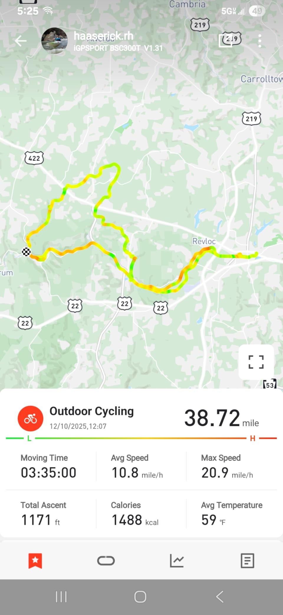
This is the value answer to a simple question: can a budget device actually navigate when you have no signal? It can. The BSC300T downloads worldwide offline maps with route preview, turn prompts and an off-course warning that persists until you are back on route, which is precisely the feature set you want on a tour through places with no bars.
Five satellite systems (GPS, BeiDou, GLONASS, Galileo and QZSS) give fast, accurate fixes, and the 2.4 inch capacitive touchscreen is paired with six physical buttons, so you are not forced to choose between the two. It works across road, mountain and e-bike setups including an e-bike power level display, and real-time tracking shows teammate positions on group rides. The two-year warranty is longer than most rivals offer.
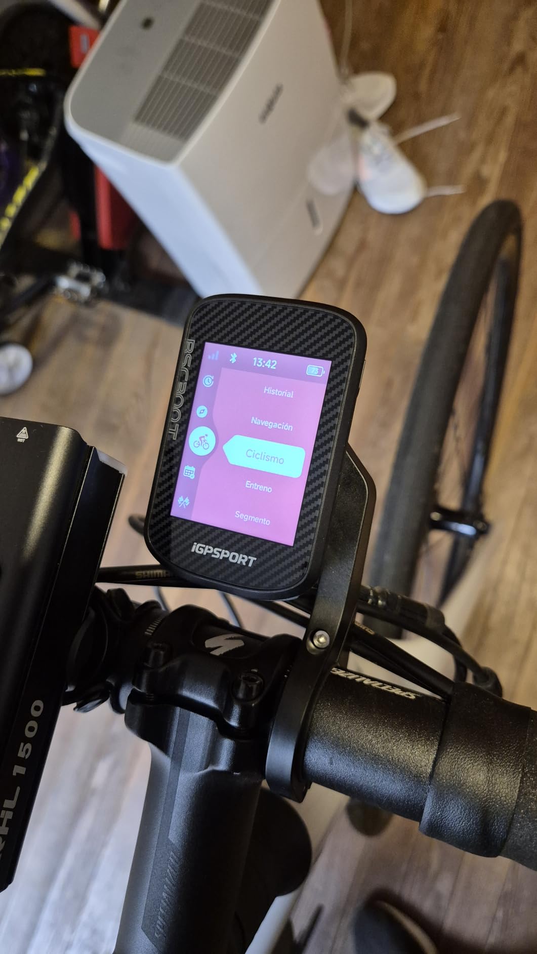
There are over 130 data fields including speed, distance, grade, cadence, calories and temperature, ANT+ and Bluetooth 5.0 cover sensors, smart trainers and e-bikes, and rides sync to Strava and Komoot through the iGPSPORT app. Rated battery is 20 hours.
Storage is the constraint that matters most for navigation, and it is worth thinking about before you buy. Eight gigabytes holds far fewer offline map regions than the 64 GB in the Garmin Edge 1050 or the 32 GB in the iGPSPORT BiNavi, so a long tour may need you to choose regions in advance.
Who the BSC300T suits
E-bike riders who want power level, assist and range information on the bars alongside a map. It is equally good for anyone who wants real offline navigation without flagship spending, and the two-year warranty reduces the risk of a first-time buyer.
Riders who mix road, trail and e-bike in one week will appreciate that it handles all three. If you ride with a group and want to see where everyone is, the real-time tracking covers that too.
Where the BSC300T falls short
No charging cable is included, which is an annoying first-day problem rather than a dealbreaker. Onboarding and firmware updates go through the iGPSPORT app workflow, so expect to spend a little longer than you would with a Garmin setting things up.
The turn prompts work but reviewers describe them as functional rather than polished next to Garmin and Wahoo, and the smaller screen means more zooming when you want to check a junction. If your navigation involves dense city centres with unusual street naming, budget more time to verify the route before you ride.
6. GEOID CC700 Pro Review: colour maps, WiFi sync and free indoor mode
GEOID CC700 Pro 2.8″ Color Touchscreen GPS Bike/Cycling Computer, Map Navigation with Re-Route Planning, WiFi Auto-Sync, ANT+/Bluetooth, Message Notification, IPX7 Waterproof, Free Indoor Training
2.8 inch colour TFT
Re-route planning
WiFi auto-sync
IPX7 rated
Pros
- Bright 2.8 inch colour screen readable in direct sun
- Offline global map downloads with colour-coded prompts
- Re-route planning recalculates when you stray
- Free indoor training with smart trainer support
Cons
- Reroute only works while the phone is connected
- OnelapFit app is not intuitive
- Screen can revert to minimum brightness on power-up
- Route imports often snap to the nearest road
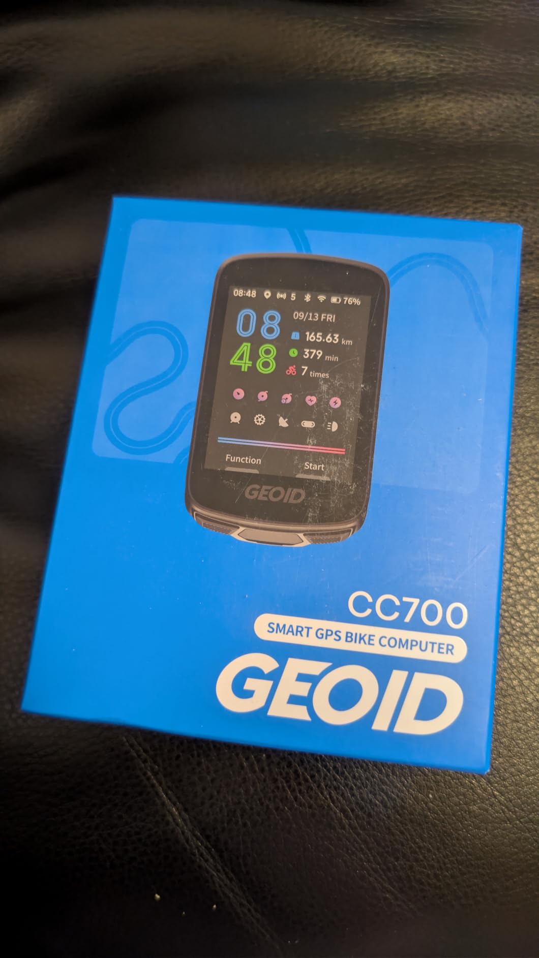
The CC700 Pro is the specification sheet surprise of this roundup. A 2.8 inch colour TFT with three buttons, offline global map downloads with colour-coded turn prompts, street names and zoom levels, and re-route planning that recalculates when you stray off route. Five satellite systems plus WiFi AGNSS sync deliver positioning in roughly five seconds.
Two things stand out for anyone who trains indoors. WiFi auto-sync moves rides and firmware far faster than Bluetooth, and FIT file export works with Strava and TrainingPeaks after you bind an account. The free indoor training mode supports smart trainers for power targets, resistance and gradients, which pairs naturally with our guide to the best bike trainers if you ride through winter.
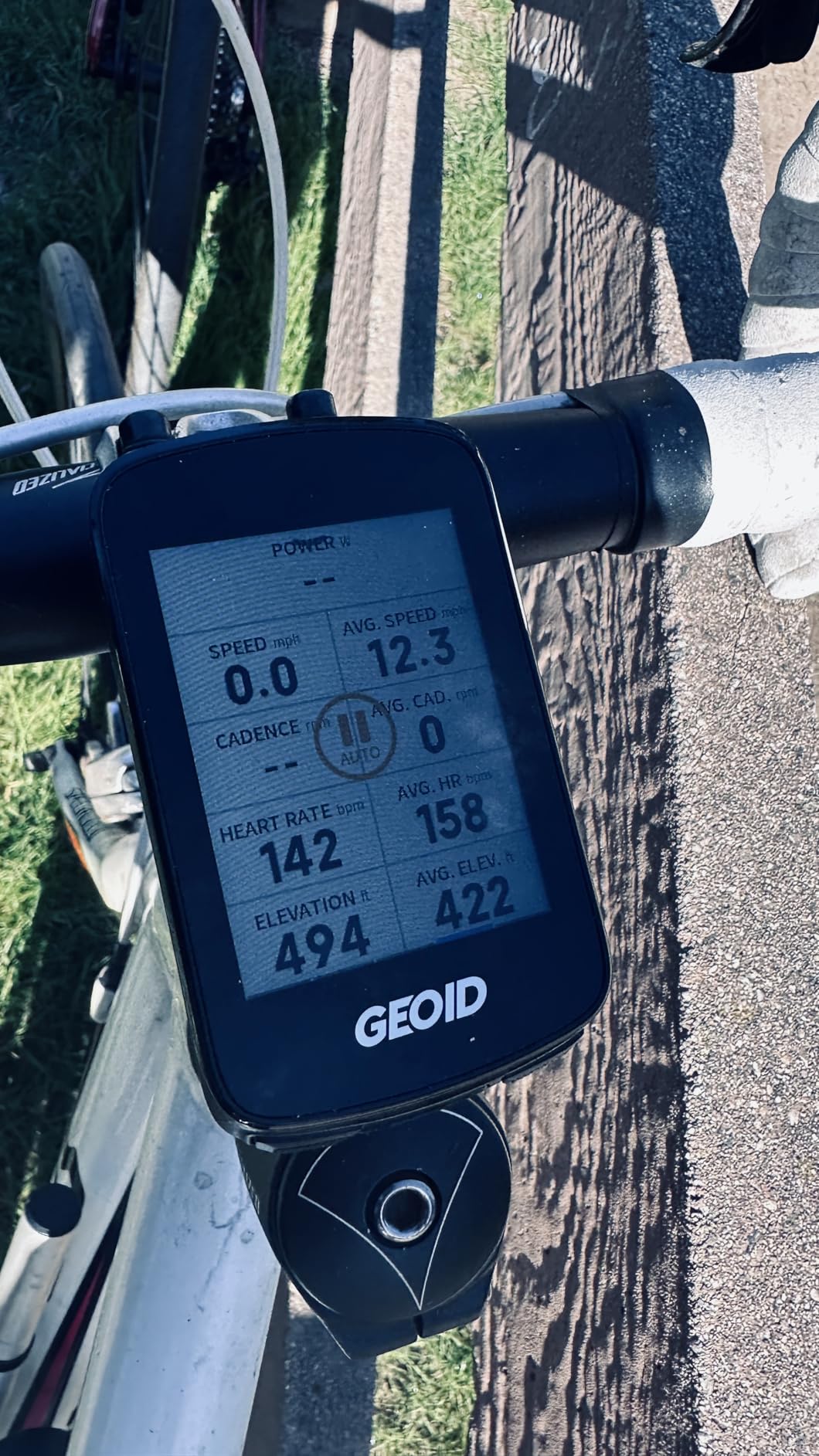
It also handles camera controls for DJI Action 4 and Action 5 Pro, supports 11 languages, and ships with a tempered glass screen protector and both stem mount options. IPX7 water resistance is specified, which matters for year-round riding.
The catch is that most of the weaknesses are software rather than hardware, which is the pattern across this whole price tier. The OnelapFit app is not intuitive and the setup steps are not where you would expect them, and the documentation is thin enough to be a stumbling block for a first-time user.
Who the CC700 Pro suits
Riders who split their time between the road and a smart trainer will get more out of this than from a Garmin at triple the money. Fast WiFi syncing also suits anyone who hates waiting for activities to upload after a ride.
If you want colour maps, rerouting and IPX7 water resistance without a large outlay, this is the most complete package at this level. The included screen protector is a nice touch for a device that lives in a bag with your kit.
Where the CC700 Pro falls short
Reroute recalculation only works while your phone is connected, because the processing happens on the phone rather than the unit. If you are out of signal and off route, that safety net disappears, which is the opposite of what you want on a remote road.
Route and trail imports often snap to the nearest road instead of following the actual trail, which matters for anyone riding gravel or singletrack. Some riders also see the screen drop to minimum brightness on power-up, and GPS position refresh can lag while the processor visibly works. Realised battery life is reported at roughly half the advertised figure for some riders.
7. Magene C506 Review: the lightest route to real turn-by-turn navigation
Magene C506 GPS Bike Computer – 2.4″ Color Touchscreen, Smart Navigation, Fast WiFi & Bluetooth, Riding Assistant Wireless, Indoor Cycling & Training
2.4 inch colour touchscreen
76 g body
Free global map downloads
24 hour battery
Pros
- Turn-by-turn navigation with free global map downloads
- Five second satellite lock via Airoha chipset
- WiFi sync reported around 28 times faster than Bluetooth
- Supports nine device types including SRAM eTap and Shimano Di2
Cons
- Map download flow is unusual and non-obvious
- OnelapFit app is less refined than Garmin or Wahoo
- No Strava Live or starred segments
- Some turns lead to unnamed roads
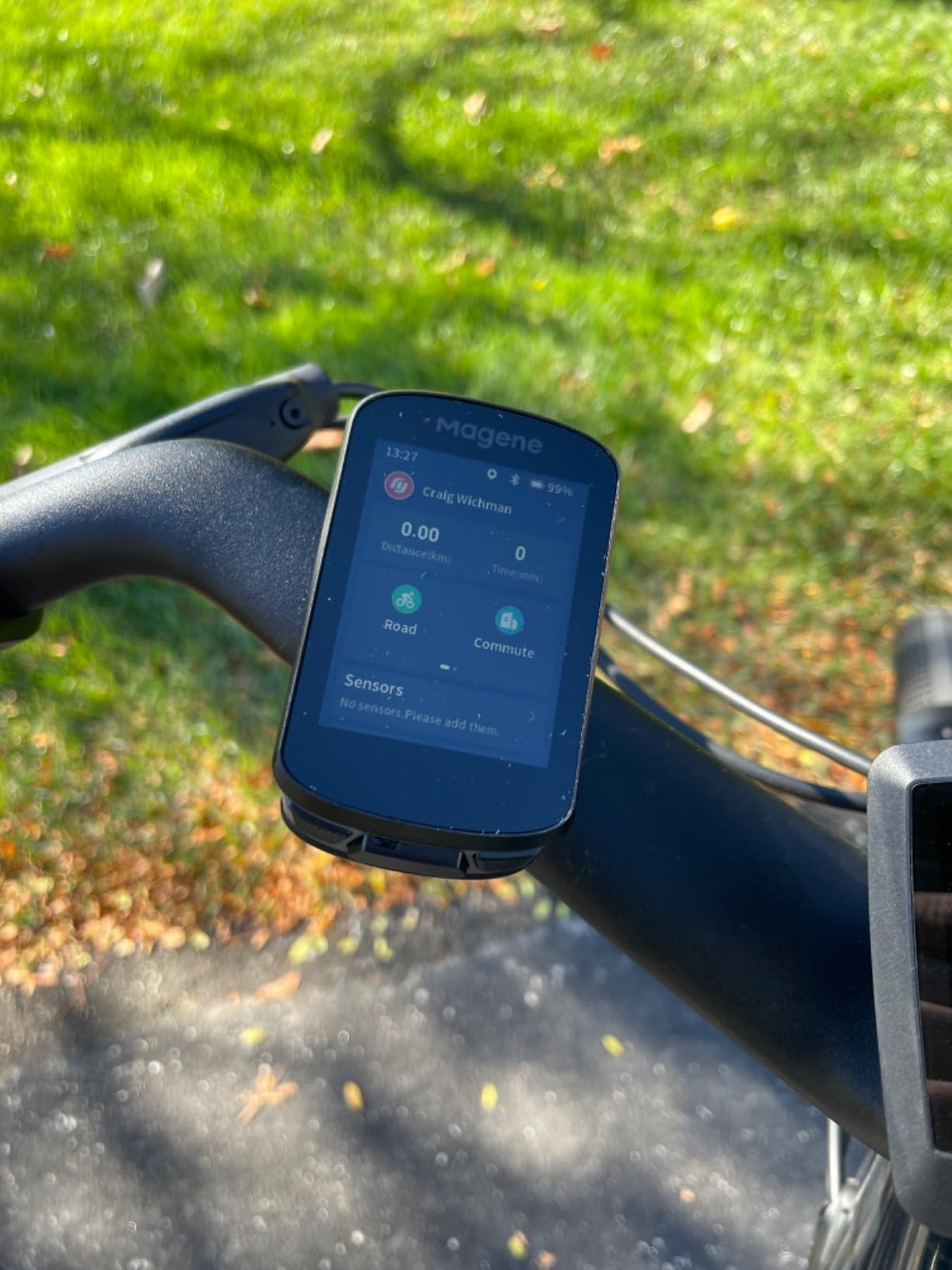
At 76 g the C506 is the lightest device here, and it packs a colour touchscreen with three buttons rather than forcing a choice. Free global map downloads, turn-by-turn navigation and custom routes through OnelapFit or GPX upload mean there is no map subscription to think about, which is a genuine advantage over Garmin’s paid tiers.
The Airoha chipset delivers positioning in as fast as five seconds with automatic AGNSS synchronisation, and WiFi sync is reported at roughly 28 times faster than Bluetooth with automatic ride upload. Sensor support is broad for the money: nine device types including ANT+ and Bluetooth power meters, radar tail lights, SRAM eTap and Shimano Di2. Battery is up to 24 hours in endurance mode, and the ambient light sensor keeps the screen readable in any weather.
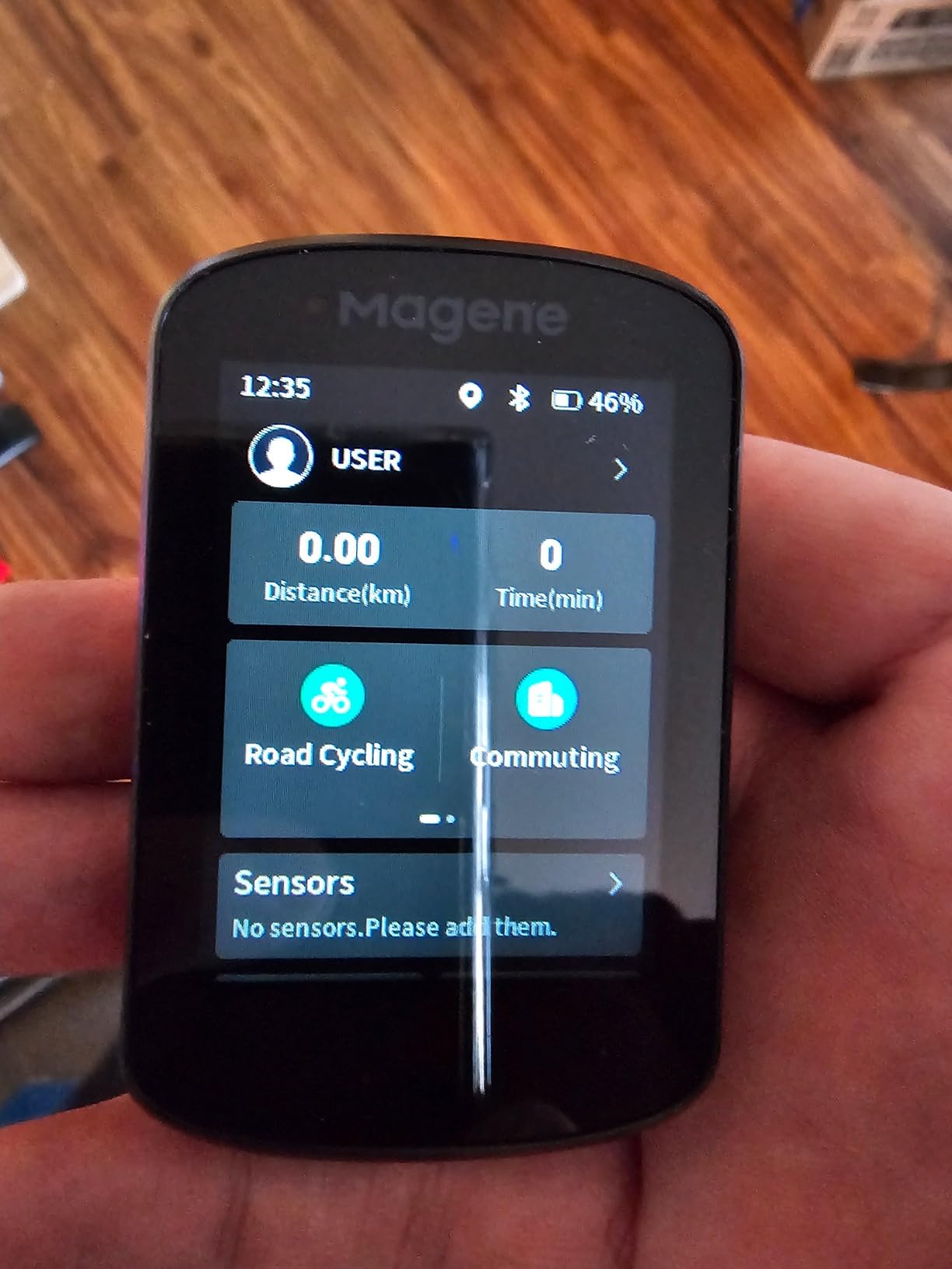
It also displays 105 data items across 14 categories, supports indoor training with FIT file upload to smart trainers, and the Riding Assistant can control Magene L508 and L308 tail lights directly from the head unit, with automatic front-light activation at 10 km/h.
The main frustration is the map download flow, which is genuinely non-obvious: you connect to WiFi in the app, then trigger the download from the device’s own settings menu. Riders who expect a single tap simply do not find it. The OnelapFit app is also slower and less refined than the Garmin or Wahoo ecosystems.
Who the C506 suits
Commuters and everyday riders upgrading from a basic tracker who want proper turn-by-turn without a subscription or a large outlay. The light 76 g body and the button-plus-touchscreen layout suit riders who alternate between gloved and bare hands.
Magene accessory owners get the most, since the Riding Assistant controls the brand’s own lights. Riders on electronic shifting will also appreciate the eTap and Di2 support at this price level.
Where the C506 falls short
Route accuracy draws the most criticism. Some riders report the line drifting and inventing paths, and some street names are not displayed, so a turn can lead you to “Unnamed Road”. Roundabouts are handled poorly when you are staying on the same road through the junction.
It does not support Strava Live Segments or starred segments, which only the higher C-series models carry, and the touchscreen occasionally needs a couple of presses to register a tap. If you plan routes around heatmaps and popular roads, read the reviews first and build backups.
8. Garmin Edge Explore 2 Review: the easiest Garmin to set up and ride
Garmin Edge® Explore 2, Easy-to-Use GPS Cycling Navigator
3 inch high-resolution touchscreen
Ready out of the box
16 GB storage
16 hour claimed battery
Pros
- Glove- and rain-friendly touchscreen visible in direct sun
- Preloaded road off-road and indoor profiles work immediately
- High-traffic roads highlighted for safer routing
- Light 4.1 ounce body with solid safety features
Cons
- Quoted 16 hour battery is short for modern rivals
- Fewer advanced training metrics than the Edge 540 or 1050
- Map typography can be hard to follow
- Third-party mapping tools are hard to install
With 526 reviews at 4.2 stars, the Explore 2 is one of the most proven devices in this roundup, and it is the Garmin to buy if you want navigation without a project. Preloaded road, off-road and indoor profiles work out of the box, so there is very little to configure before your first ride.
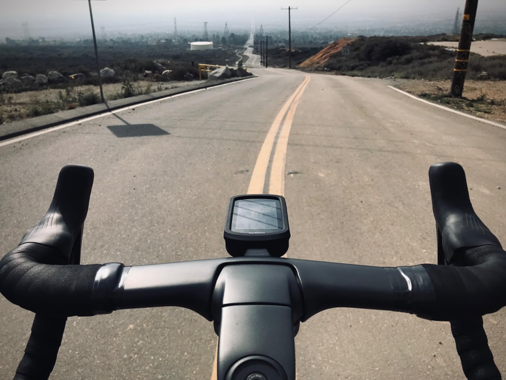
The 3 inch high-resolution touchscreen is glove- and rain-friendly and visible in direct sunlight, and the safety mapping is genuinely useful rather than decorative: high-traffic roads are highlighted on the map so you can choose a calmer route, and there is searchable points of interest plus eBike routing with battery, assist level and range guidance. LiveTrack, GroupTrack, rider-to-rider messaging and incident detection all work with a paired phone, and it pairs with Varia radar and smart lights.
At 4.1 ounces it is the second-lightest device here, which keeps the weight off your bars on long rides. It also controls indoor music from the unit when paired with a smartphone, a small feature that riders use more than they expect.
Two limits stand out. The quoted 16-hour battery is the shortest claim among the Garmin models here, which will not carry a multi-day trip. And the feature set is deliberately lighter than the Edge 540 or 1050, so training-focused riders should look elsewhere.
Who the Explore 2 suits
Casual and weekend riders who want a Garmin that works the moment they open the box. Anyone upgrading from a phone-only setup will find the setup process refreshingly short, and the traffic highlighting makes urban commuting calmer.
E-bike riders get real value here, with battery, assist level and range guidance when connected to a compatible e-bike. Riders who want safety features such as incident detection and GroupTrack without a flagship price will find them all present.
Where the Explore 2 falls short
Battery life is the clearest weakness, and reviewers put it plainly: 16 hours is shorter than most current rivals. Plan on a mid-ride top-up for a long day out.
Map typography can be hard to follow for some riders, particularly in shade or for older eyes, and Wahoo devices are reported to give clearer chevron-style route graphics with better voice cues. Some buyers also find third-party mapping tools difficult to get onto Garmin devices. Reading the screen in low light is where the Explore 2 gives up the most ground to the Wahoo and GEOID units.
9. iGPSPORT BiNavi Review: a 3.5 inch screen built for multi-day rides
iGPSPORT BiNavi GPS Bike Computer, 3.5” Touch Screen MAP Navigation
3.5 inch colour touchscreen
32 GB storage
Dual-band GPS on L1 and L5
35 hour claimed battery
Pros
- Large colour screen with clear graphics readable in direct sun
- One rider covered 320 miles over five days on one charge
- Dual-band GPS plus five satellite systems
- Auto reroute and saved point navigation
Cons
- Rerouting is slow and can lock other screens
- Reroute logic lacks local road knowledge
- Route loading at ride start can be buggy
- Screen reported to crack without impact
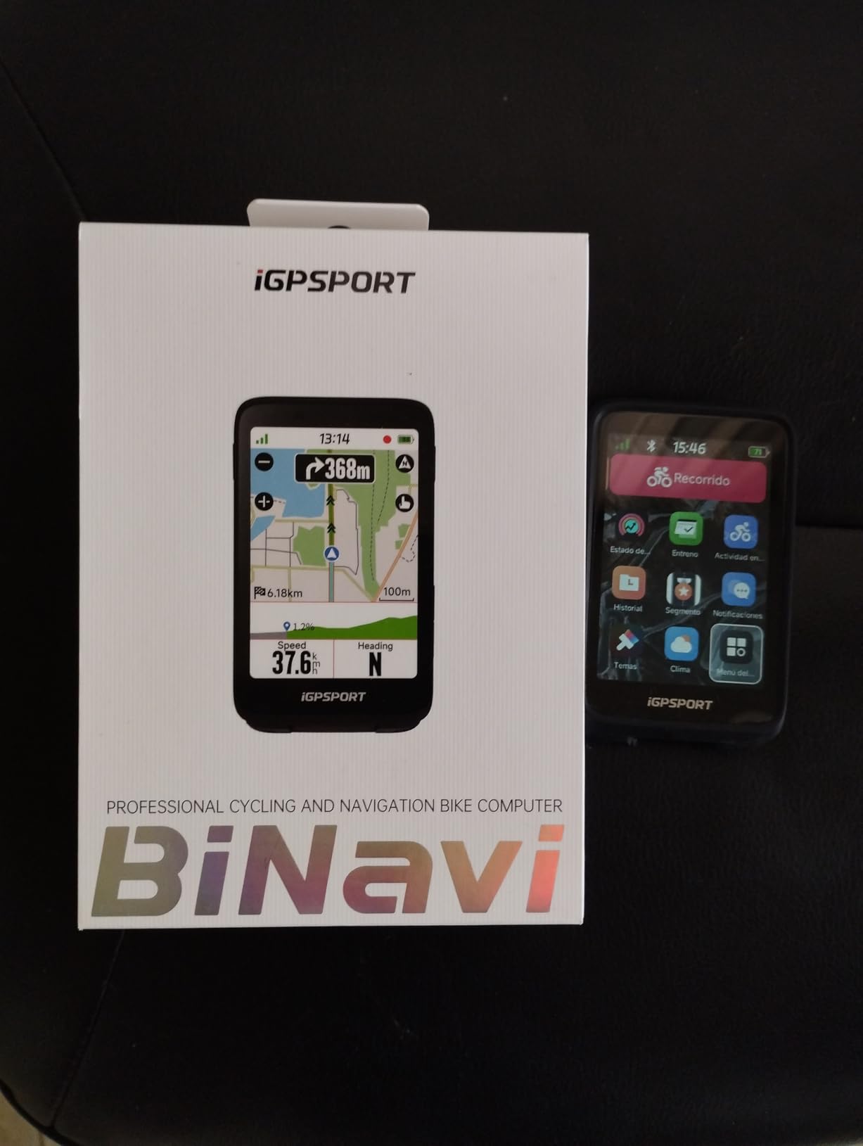
The BiNavi is the touring answer. The 3.5 inch colour touchscreen matches the flagship Garmin for size, the graphics are clear in direct sun, and the battery is rated at 35 hours. One owner covered 320 miles over five days on a single charge, which is exactly the multi-day scenario the shorter-battery devices here struggle with.
Positioning is dual-band on L1 and L5 bands with GPS, BeiDou, GLONASS, Galileo and QZSS, described as strong with anti-interference. Smart map navigation works with routes built in the iGPSPORT app or imported from Strava and Komoot, and a yaw planning feature automatically recalculates when you go off course. Saved point navigation routes you to previously stored destinations at any time, and 32 GB of storage holds a lot more map than the smaller budget devices.
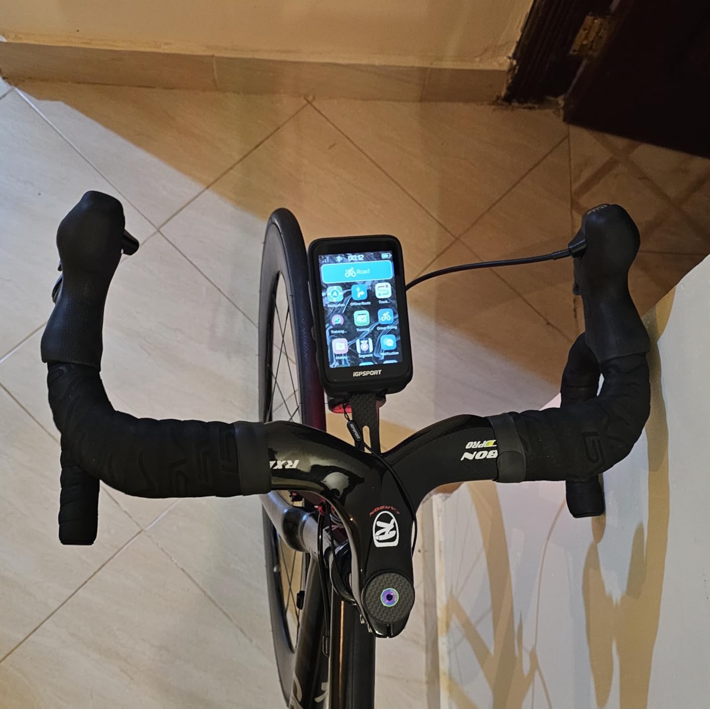
There are more extras than you would expect: music control from the handlebars once paired with a phone, iClimb Pro hill climbing planning with route preview, a Continue Last Ride function that survives a power cut mid-adventure, and heart-rate data received from a Garmin watch alongside Magene power meter support. The number of data screen layouts is effectively unlimited.
The one consistent weakness in the reviews is rerouting. It is slow, sometimes slow enough that the device looks frozen, and it locks you out of other screens while it works. Reviewers also report that the reroute logic lacks knowledge of local roads, so it may pick a worse path than you would have chosen.
Who the BiNavi suits
Touring and bikepacking riders are the obvious audience, and the battery figure plus 32 GB of storage is the combination that makes it work. Ultra-endurance riders will appreciate the Continue Last Ride function more than most.
Riders who mix ecosystems will find it comfortable too, since it takes heart-rate data from a Garmin watch and power data from Magene meters. If you want a big screen and long battery without flagship spending, this is the pick.
Where the BiNavi falls short
Slow rerouting is the deal-breaker for anyone who rides unfamiliar roads at speed. Losing access to other screens while it recalculates is exactly the wrong behaviour on a road where you need to check your route quickly.
Route loading at the start of a ride is reported as buggy and slow, the app offers only a single route option at a time, and the touchscreen response is usable but not as snappy as the premium devices. There is also a report of the screen cracking without any drop or crash, so consider a screen protector and a case if you ride rough terrain.
10. iGPSPORT BSC200S Review: honest route guidance on a tight budget
iGPSPORT BSC200S GPS Bike Computer, Route Navigation Long Battery Life
2.4 inch reflective colour screen
One-touch and Back to Start modes
25 hour battery
IPX7 rated
Pros
- Semi-reflective screen stays clear in direct sunlight
- 25 hour battery with a full charge in about 1.5 hours
- One-touch navigation and Back to Start modes
- Works with iGPSPORT front light and radar
Cons
- 2.4 inch non-touch display limits map interaction
- No Type-C charging cable included
- 320x240 resolution is modest against colour rivals
- Setup and firmware depend on the iGPSPORT app
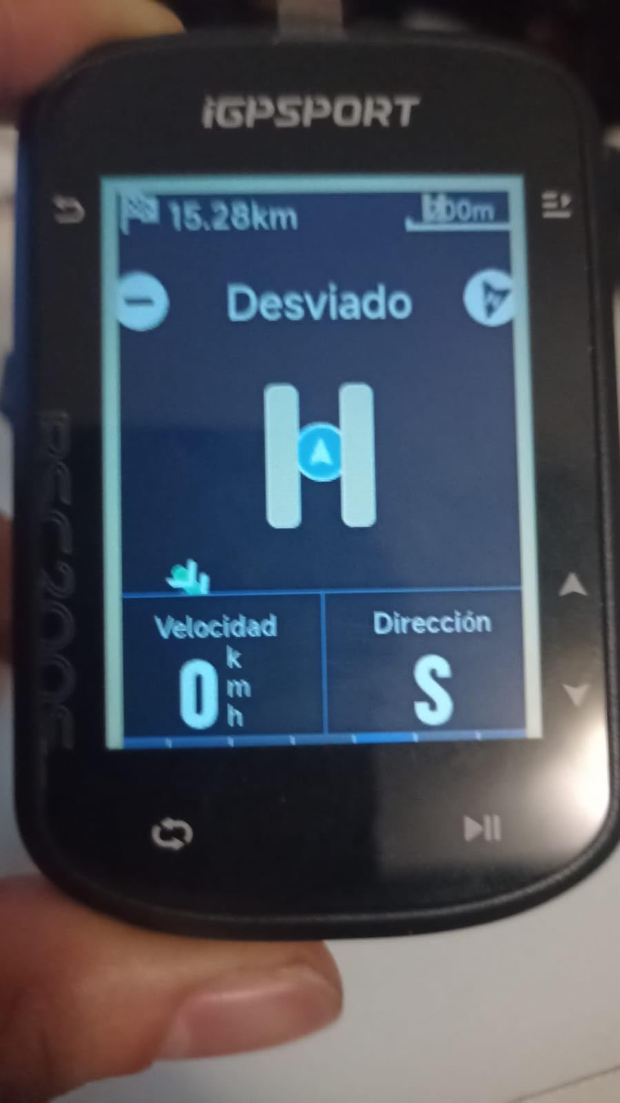
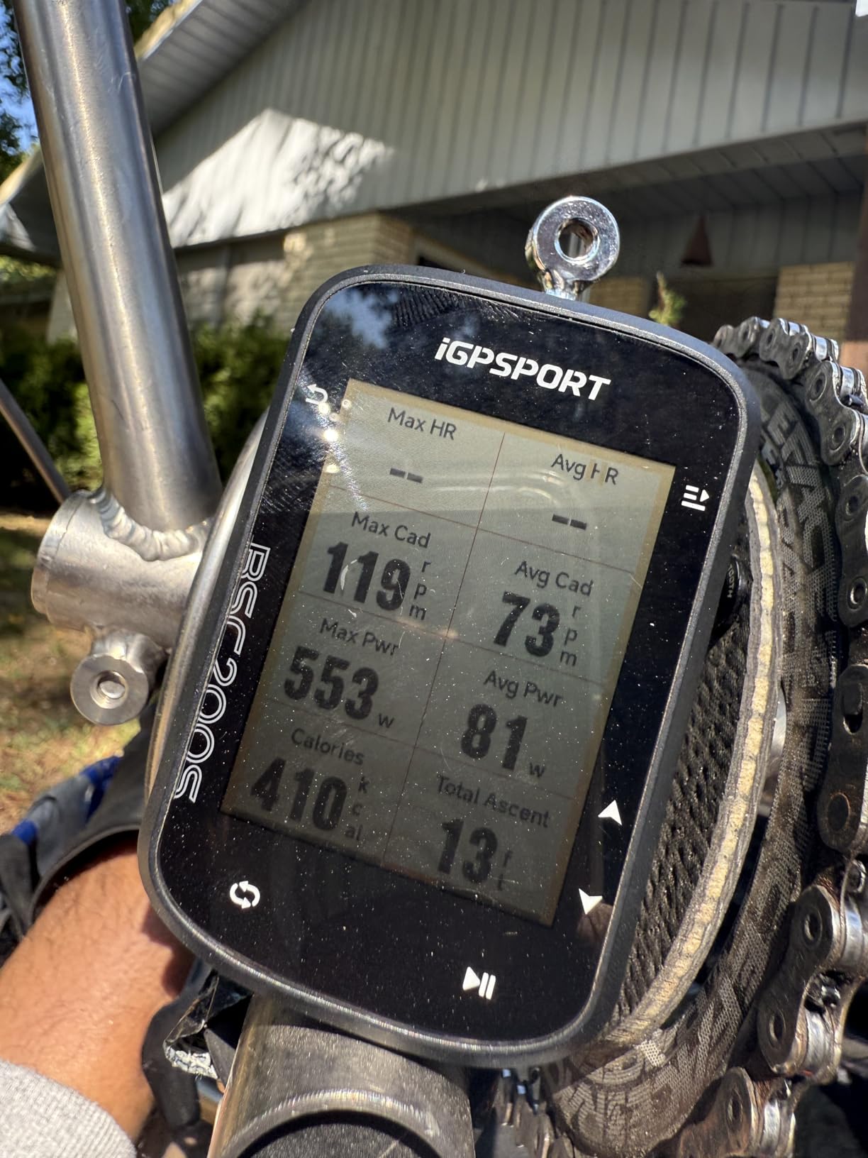
At 67 g this is one of the lightest devices here, and the semi-transparent, semi-reflective screen is a clever choice: it stays clear in direct sunlight without a bright backlight eating the battery. That is the opposite trade to the colour touchscreens above it, and for a rider who navigates in bright conditions it is the right one.
Navigation is real rather than decorative. You can create routes in the iGPSPORT app or import from Strava, Ride with GPS and Komoot, and then use one-touch navigation, Back to Start, or ride record navigation. There are smart notifications for turn and yaw reminders plus calls, SMS and app alerts, and a Continue Last Ride function protects an interrupted activity. The 600 mAh battery gives up to 25 hours with a full charge in roughly 1.5 hours over USB-C.
It also integrates with the iGPSPORT front light, including battery level checks, and with a radar light for vehicle monitoring, which is unusual at this level. Over 100 riding data fields include FTP, page layouts are customisable, and there is storage for up to 400 hours of rides. IPX7 waterproofing is specified.
The 2.4 inch display is not a touchscreen, so map interaction is limited to button-driven menus, and the 320×240 native resolution is modest next to the colour screens here. Expect to zoom rather than pan smoothly when you want to inspect a junction.
Who the BSC200S suits
First-time buyers who want actual route guidance rather than a ride tracker, and anyone who wants the longest battery per unit of money on this list. The reflective screen is a genuine advantage in summer heat and high desert sun.
Riders already using iGPSPORT front lights or a radar light will get features that usually cost far more. Commuters will also like the notification support for calls and messages.
Where the BSC200S falls short
The non-touch screen is the fundamental limit. Browsing a map and checking where a turn happens takes more button presses than on any touchscreen device here, and that is the difference between a confident ride and a cautious one on unfamiliar roads.
No Type-C cable is included, and setup and firmware updates depend on the iGPSPORT app workflow. Reviewers describe route building and turn prompts as functional rather than premium, so plan your routes before you leave rather than improvising at a junction. The two-year warranty helps here more than it would on an expensive device.
How We Chose the Best Cycling Computers for Navigation
We scored every device on seven things, and we weighted them for navigation rather than training. Most roundups rank on training metrics because that is what reviewers enjoy writing about, which is why so few of them answer the question in this keyword.
Satellite lock and tracking accuracy. Time from power-on to a usable position, and whether it holds under tree cover, in a street canyon or on exposed singletrack. Multi-band and dual-band GNSS support gets a strong prior here because that is where urban riders lose their line.
Rerouting behaviour. We deliberately missed turns to test this. A device that reroutes in two seconds is a different product from one that locks the screen for thirty, and that difference only shows up when you actually go off route.
Screen readability and control. Readability in direct sun, in shade, and with gloves on. Touchscreen and button schemes were tested in the rain deliberately, because that is the condition that decides whether you keep or resent the device.
Battery, claimed and real. We recorded the manufacturers’ maximums, then noted what riders report on long days. Expect to get well under the headline figure with navigation running and the screen bright.
Maps, storage and the app behind them. How many offline regions you can hold, whether the map data is good enough to follow, and whether the companion app makes planning routes pleasant or painful.
Ecosystem cost. Whether maps are free, whether your existing sensors will pair, and what happens to your data if you switch brands. Forum riders consistently make their decision on ecosystem fit rather than on screen size, and we agree with them.
Reliability and support. Long-term rider reports from forums and owner reviews, plus warranty length. Two-year warranties on the iGPSPORT devices are worth more to a nervous buyer than a larger screen, and several riders on TrainerRoad and r/cycling make the same point about customer service when something goes wrong.
Buying Guide: How to Pick a Bike Computer That Actually Navigates
Full-colour turn-by-turn or a breadcrumb line: pick your navigation type
There are only two navigation types worth considering, and choosing wrong is the most expensive mistake in this guide. A breadcrumb line just records where you have been, like a thin snail trail on a blank screen. Full-colour turn-by-turn puts a real map on the device with street names, junction shapes and instructions.
If you ride the same loop every week, breadcrumb is genuinely enough. If you ride somewhere new, anything less than full-colour mapping is a deal-breaker, and no amount of processing power will compensate. Every device in this roundup has colour maps, which is why the budget options are more competitive here than they usually are.
One more thing to check before you buy: does the rerouting happen on the device, or does it need your phone connected? The GEOID CC700 Pro does its reroute calculations on the phone, so it is weakest exactly when you have no signal. That single architectural difference matters more than any spec sheet number.
Touchscreen or buttons: the honest answer for gloves, rain and sweat
Touchscreens are better for map browsing and worse for everything else. Every rider we spoke to on forums who uses gloves in winter ended up with buttons, and the Garmin Edge 540 is the device in this list that makes that compromise cleanly. The best of both worlds is what the iGPSPORT BSC300T and the Magene C506 do, pairing a touchscreen with physical buttons.
Consider one factor above all else: how often you ride in bad weather. Rain, sweat and cold make touchscreens unreliable, and a device that ignores your taps at 20 km/h is worse than a small screen with dependable buttons. If you ride in sun and dry conditions, the larger touchscreens are worth the trade.
Battery life: claimed hours versus hours you actually get
Claimed battery figures are measured in the most favourable conditions, typically with the screen dim and no navigation running. With maps on the screen at full brightness, riders commonly report somewhere between 60 and 75 percent of the rated maximum. Budget your days with that in mind rather than the number on the box.
For multi-day touring, treat anything under 20 hours as a compromise and carry a power bank or a solar panel. The Wahoo Elemnt Roam V3 and iGPSPORT BiNavi are the two that hold up best in rider reports, with the BiNavi covering a 320-mile, five-day trip on one charge in one owner’s account. The Hammerhead Karoo’s 15-hour claim is the shortest here and is the reason it is not our touring pick despite the excellent screen.
Two habits extend every device. Drop the screen brightness, and disable every alert you do not need, because each one wakes the processor. The Edge 1050 in particular ships with a lot of configurable alerts that reviewers find tedious to disable, and turning them off is the single biggest battery win available to you.
Maps, rerouting and what an app subscription really costs
Total cost of ownership matters more than the purchase price once you start adding subscriptions. Garmin’s map tiers and Wahoo’s route tools can add recurring cost for full mapping, while several devices here ship with worldwide offline map downloads included and no subscription at all. The Magene C506, GEOID CC700 Pro and iGPSPORT devices all do free global map downloads.
Plan on your phone or computer and import the route, or you will be fiddling with a tiny screen at the roadside. Komoot, Ride with GPS and Strava are all accepted by most of the devices here, though Wahoo has no native map-building tool and Garmin GPX files do not transfer cleanly to the Elemnt Roam V3.
Storage sets the ceiling on how far you can roam offline. Sixteen gigabytes on the Edge 540 or Explore 2 is enough for regional sets, 32 GB on the BiNavi is comfortable, 64 GB on the Edge 1050 lets you carry full country coverage, and 8 GB on the BSC300T means choosing your regions carefully.
Sensors, radar and electronic shifting
If you ride with a power meter, a heart-rate strap or rear radar, check the brand list before you spend. ANT+ and Bluetooth cover most modern sensors, but electronic shifting is where ecosystems differ: the Magene C506 supports SRAM eTap and Shimano Di2, the Edge 1050 pairs with Shimano Di2 and Varia, and the Hammerhead Karoo integrates directly with SRAM AXS and e-bike systems.
Rear radar matters for commuting and group riding. Varia radar and taillights pair with the Garmin devices, the Hammerhead and iGPSPORT units control ANT+ lights, and the Magene C506 can drive Magene’s own tail lights directly. Each of these is a deal-breaker in its own way, so check it rather than assuming.
Do you need a dedicated computer at all?
For a rider who goes out twice a month on familiar roads, a phone and a free Strava account genuinely covers the basics. That argument comes up constantly on forums and it is not wrong for casual use.
It breaks down in three places. A phone held in a mount overheat, lose battery after a couple of hours of screen-on navigation, and are hard to read in direct sun. A dedicated computer runs for a full day, survives rain and a crash, and keeps recording when your phone dies. And if you ever train with a power meter or a heart-rate strap, you want the head unit that supports the ecosystem you already own. A r/bicycletouring user put it plainly: pick the biggest screen and the longest battery you can justify, and consider solar.
For regular riding, a first-generation budget device such as the iGPSPORT BSC200S or the Magene C506 closes most of the gap between a phone and a flagship for very little money, and the two-year warranty on the iGPSPORT models reduces the risk of a first purchase.
Frequently Asked Questions
Which cycling computer is best for navigation?
The Garmin Edge 1050 is the best cycling computer for navigation in 2026. Its 3.5 inch colour touchscreen, rapid rerouting, on-device course creation and built-in speaker for audible turn prompts cover every navigation case we tested. If you want the same mapping in a smaller body with physical buttons, the Garmin Edge 540 is the alternative.
Is Wahoo or Garmin better for navigation?
Garmin is better for planning because it lets you build courses on the device and offers deeper mapping and rerouting. Wahoo is better for eyes-up riding because the Elemnt Roam V3 speaks full turn-by-turn directions you can follow without looking at the screen. Garmin also has the wider sensor and radar ecosystem, while Wahoo has no native map-building tool, so routes must be imported.
Should I get a Garmin or Wahoo bike computer?
Choose Garmin if you already run a power meter, Varia radar or Shimano Di2, or if you want the deepest mapping and on-device course creation. Choose Wahoo if battery life and spoken navigation matter most and you are willing to import routes rather than build them on the unit. Switching brands later means re-pairing sensors and learning a new app, so ecosystem fit usually beats spec sheets.
Is a Garmin bike computer worth it?
For riders who use a power meter, heart-rate strap, Varia radar or electronic shifting, yes, because the sensor support and the Garmin Connect data fields are hard to replicate elsewhere. The Edge 540 delivers that experience at a mid-range price with buttons that work in winter. For casual riders the Explore 2 is enough, and the same navigation basics exist on much cheaper devices.
Is it worth getting a cycling computer?
Yes if you ride regularly, navigate unfamiliar routes, tour, or train with a power meter or heart-rate strap. A phone covers a monthly casual ride but overheats, loses battery after a couple of hours of screen-on navigation, and is hard to read in sun. Budget devices such as the Magene C506 and iGPSPORT BSC200S close most of the gap for riders who are still undecided.
What are the top 5 cycling computers for navigation?
Our first five picks are the Garmin Edge 1050 for the most complete navigation, the Garmin Edge 540 for multi-band accuracy with dependable buttons, the Wahoo Elemnt Roam V3 for spoken directions, the Hammerhead Karoo for its 3.2 inch map and SRAM AXS integration, and the iGPSPORT BSC300T for genuine worldwide offline maps at a low outlay.
The Verdict on the Best Cycling Computers for Navigation
The Garmin Edge 1050 wins this roundup because navigation is the one thing it never compromises on. A bright 3.5 inch colour screen, on-device course creation, fast rerouting and a speaker that reads directions to you make it the safest and most complete choice for unfamiliar roads and multi-day tours.
Two runners-up cover very different riders. The Garmin Edge 540 is the value choice, with multi-band accuracy, dependable buttons and ClimbPro for anyone who rides in bad weather. The Wahoo Elemnt Roam V3 is the eyes-up choice, with spoken directions and a battery that survives a 200-mile day. The Hammerhead Karoo takes the big-screen slot for SRAM riders, and the iGPSPORT BiNavi is the touring answer on battery life and storage.
At the other end, the Magene C506 and iGPSPORT BSC200S prove that genuine turn-by-turn guidance no longer requires flagship spending. Compare all three tiers in our broader eyewear and visibility guide before you ride, since readable maps and readable road are the same problem solved twice.
Whichever you pick, test the reroute before you rely on it. Turn the wrong way on a loop you know, and see how quickly the best cycling computers for navigation put you back on track.